I tried to climb Moosilauke again in the winter, on 6 Feb 2023, but didn’t reach the summit. It wasn’t the winter conditions that got in the way, but I took a “herd path” on the way up and lost a lot of time wandering around; and, when I got near the top, the cloud was so thick and the wind so strong that I feared getting lost. So I turned around. Here’s what I saw just before turning around!

Not to be deterred, I went up again a week later, on a fantastic, clear, windless day. Here you can see what I did:
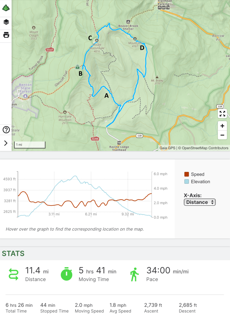
I’m using a new GPS app on my phone, so you can see my track (I went clockwise, basically the same trip as my first ascent in 2018, but backwards), and some statistics. I’ve marked a few places along the way with letters – “A”, “B”, etc. for reference later in this description.
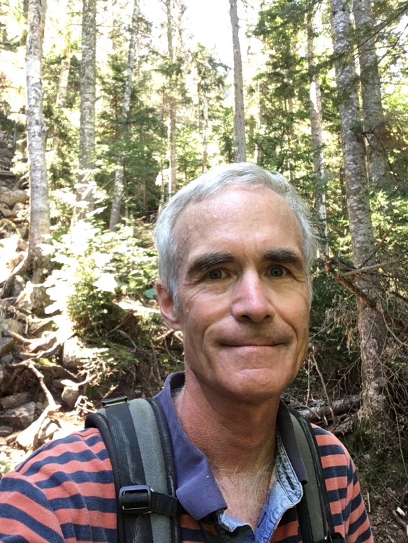
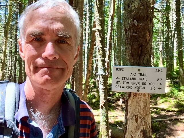
As I began, the sky was clear and blue; the forecast had indicated that clouds would come in the afternoon, so I moved quickly at first. Near the trailhead I ran into two climbers coming down. It was only 10:15am, so I greeting them by saying “you got going early!” In fact, they had summited to see sunrise! One of them said that she had climbed Moosilauke nine times now, and today was the calmest up at the top. Here I am at point “A” in the map, above:

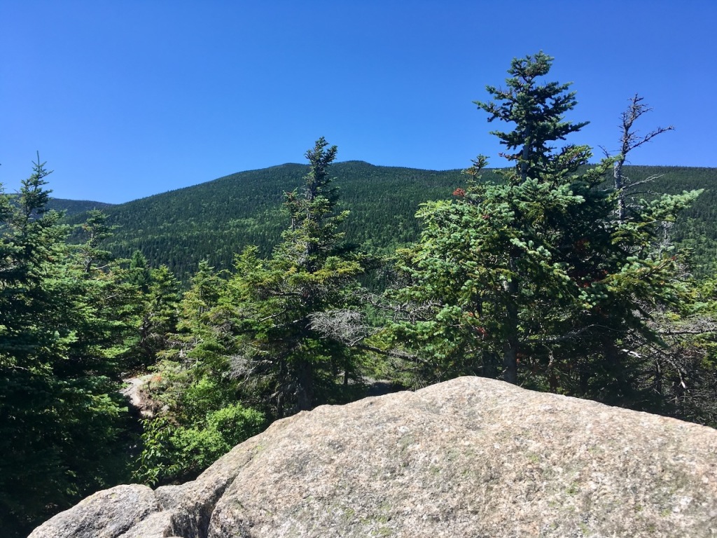
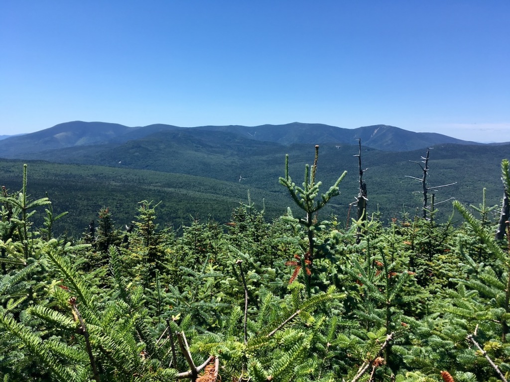
I reached the South Summit of Moosilauke (Point “B” on the map) at around noon. The view was great – that’s Mt Moosilauke in the center, with Mt Washington just on the right-hand side:

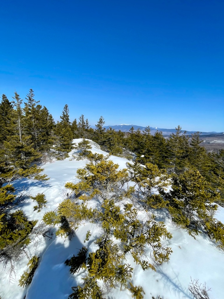
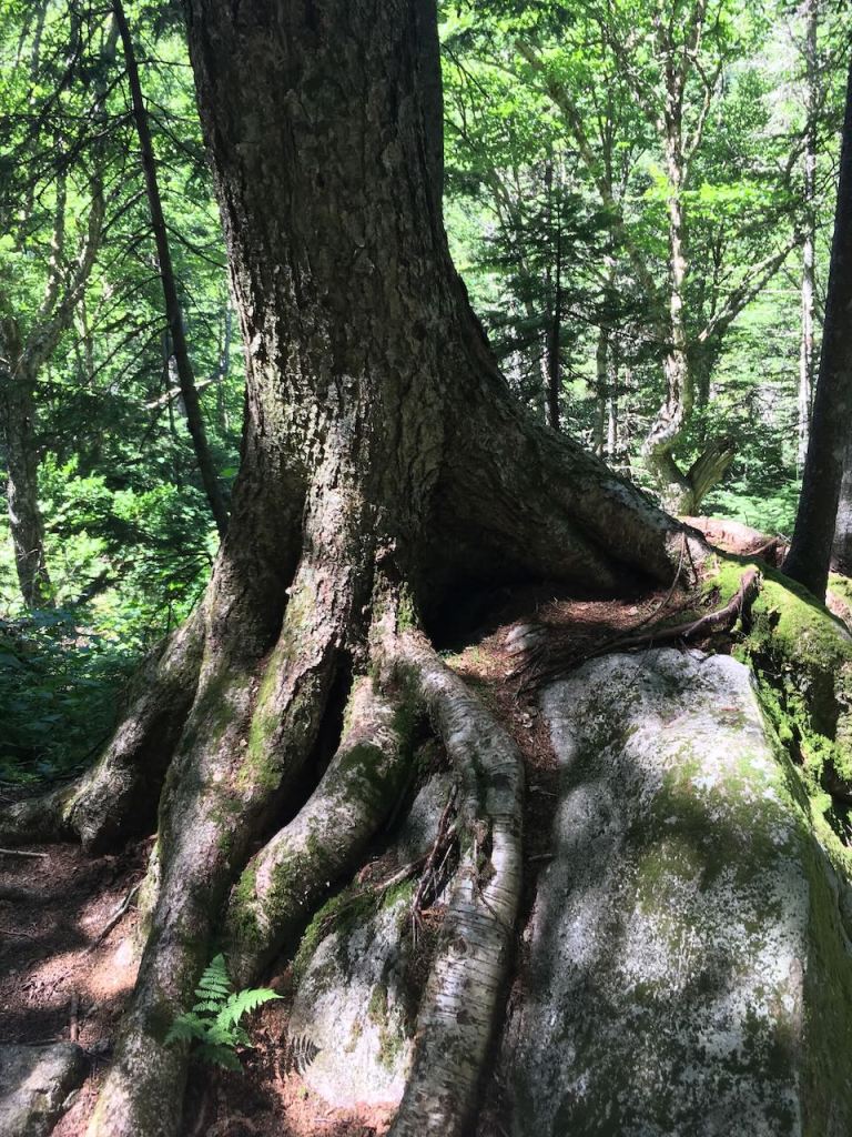
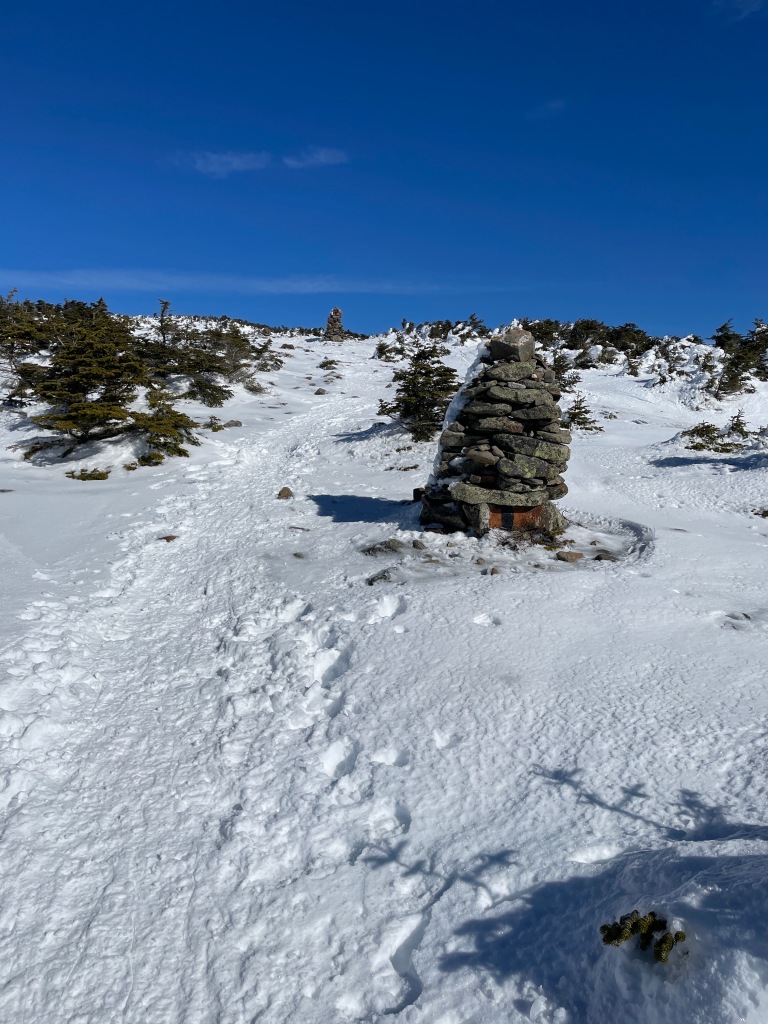
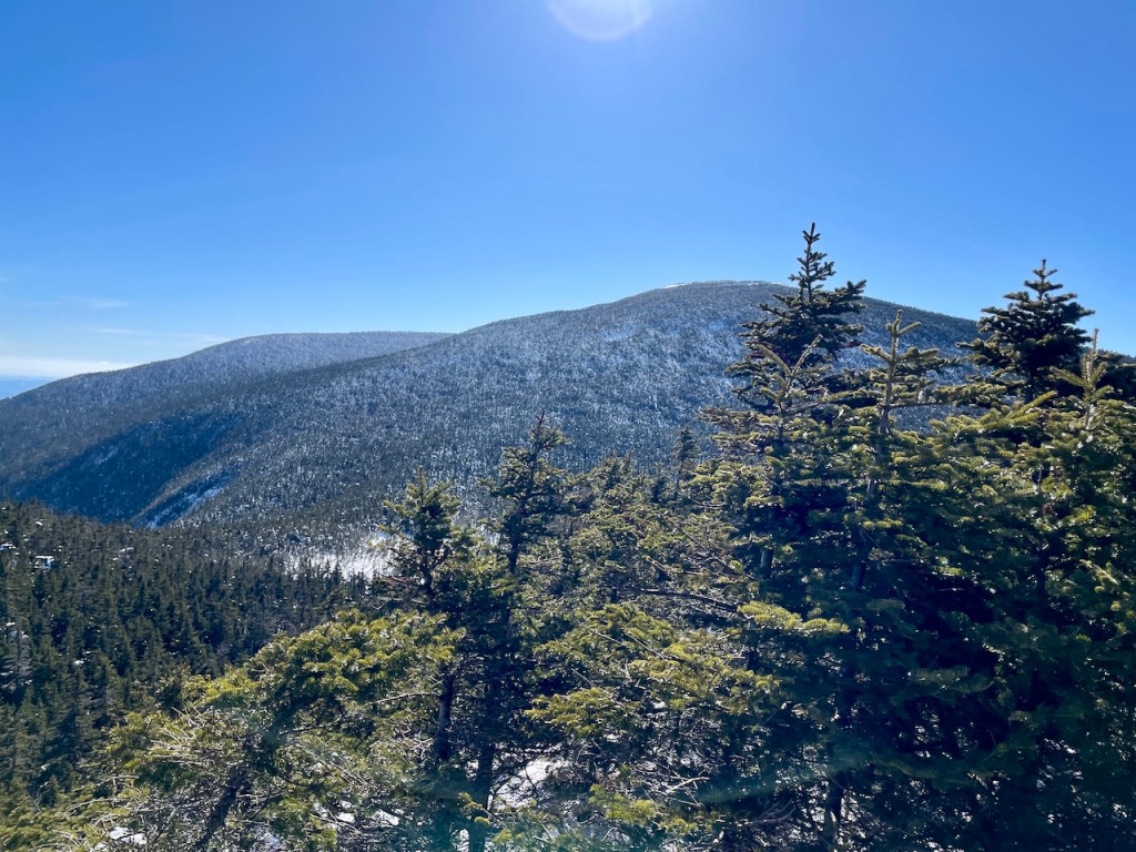
Here are a few views on the way up the main summit:

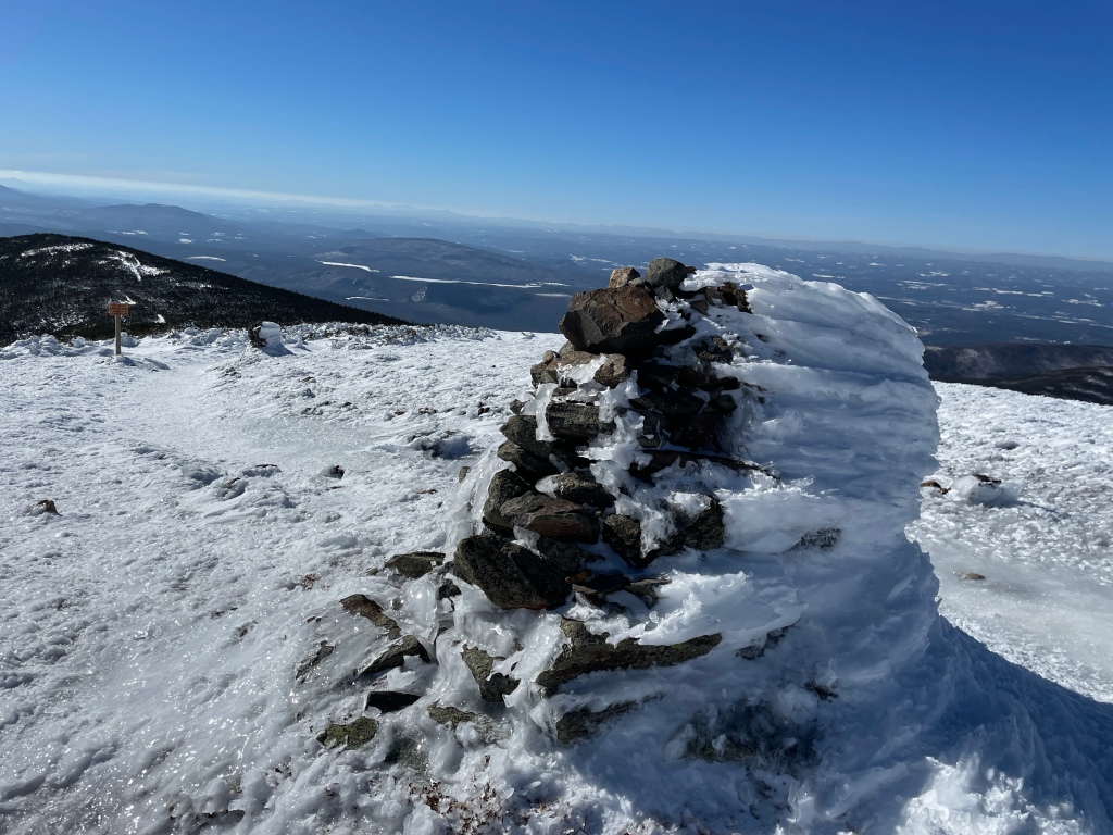
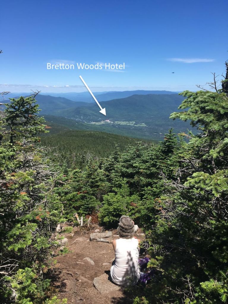
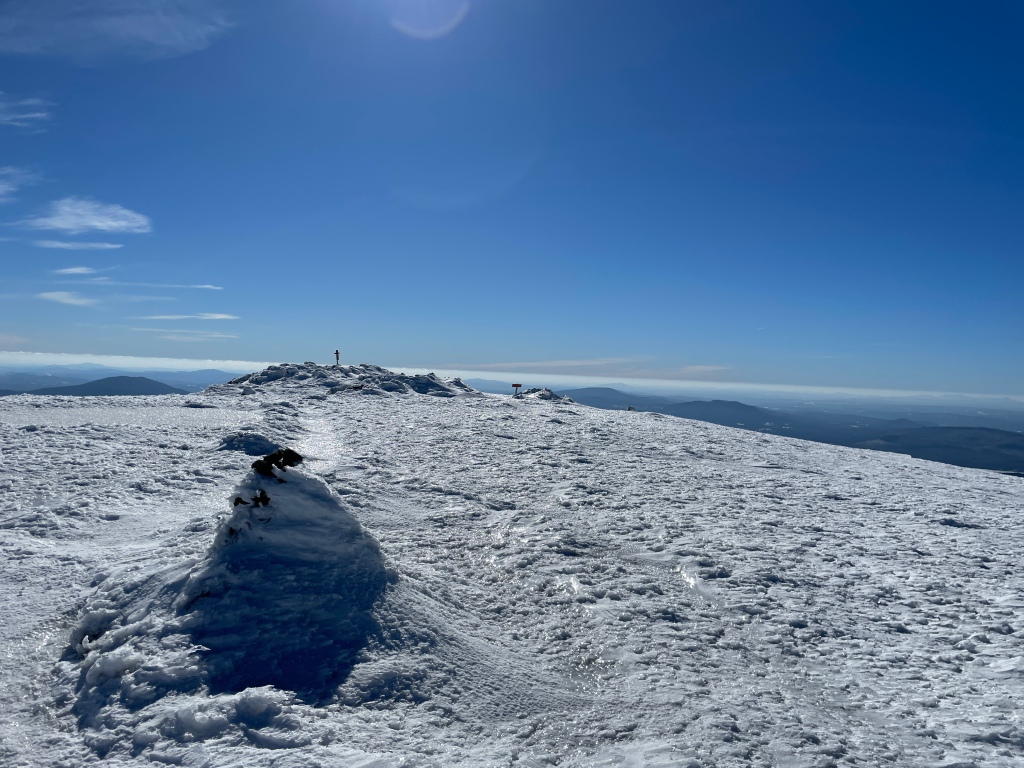
The view from the top (Point “C” in the map) was spectacular and, what’s more, it was completely calm. Very unusual in my experience on this particular mountain. I had it to myself for lunch.

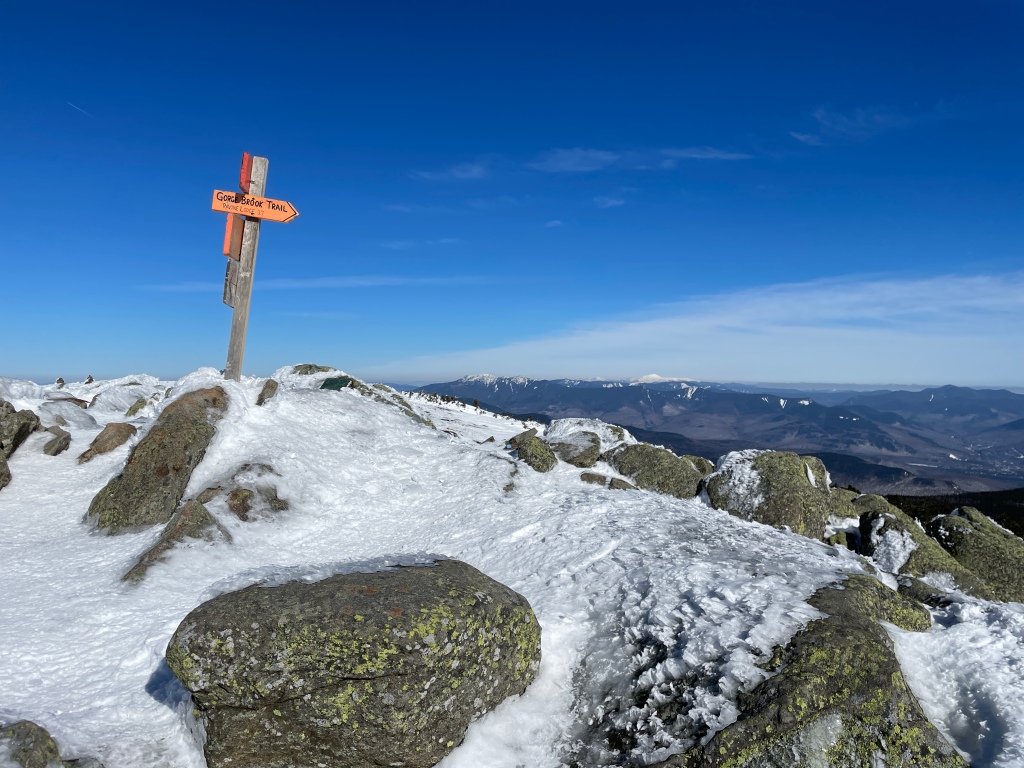

I continued north on the Beaver Brook Trail:
Most hikers ahead of me had gone up, and down, the Gorge Brook Trail, so as I continued after the summit, the trail really deteriorated. At Point “D”, I had a nice view back to both summits, and I put on my snowshoes:
You can see some of the post-holing that must have made things very difficult for hikers during the weekend before my (Monday) ascent:

But I made my way down, seeing nobody the whole way. I got back to the trailhead at about 4:30pm, having taken (according to my GPS app) 6 hours and 26 minutes to do the loop.
What a fantastic day! One of the most memorable, spectacular summits of them all…
Here are links to my first climbs of New Hampshire’s 48 4000-foot mountains, which also include reflections about what it was like working in international relief and development during the Millenium Development Goals era.
Here are links to my first climbs of New Hampshire’s 52-With-A-View peaks. Each post contains descriptions of the climb, and short reflections on other topics.
Here are links to later climbs of both sets of mountains here in New Hampshire: the 48 4000-footers, and the “52-With-A-View.”
Finally, here are links to my climb up Everest Base Camp in late 2019, with four friends.